IrlandFotosUrlaubsfotos vom Mai/Juni 2008 (als Datei für Google Earth)
) vom Mai/Juni 2008 (als Datei für Google Earth)
)
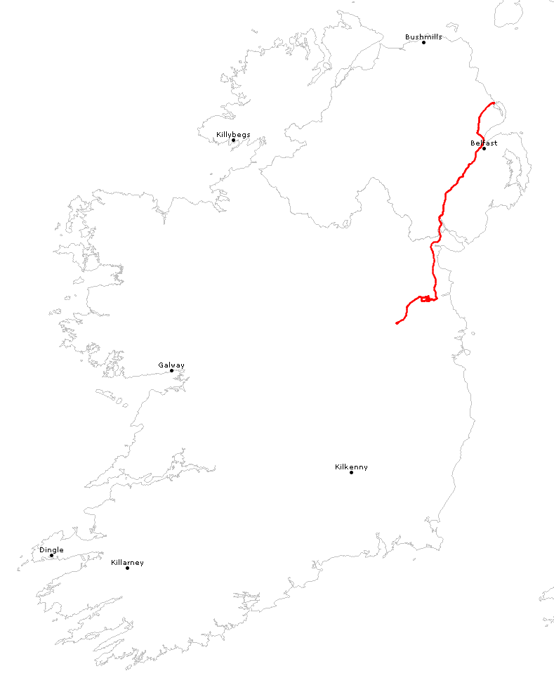
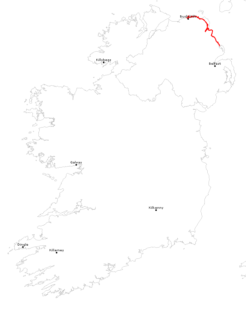
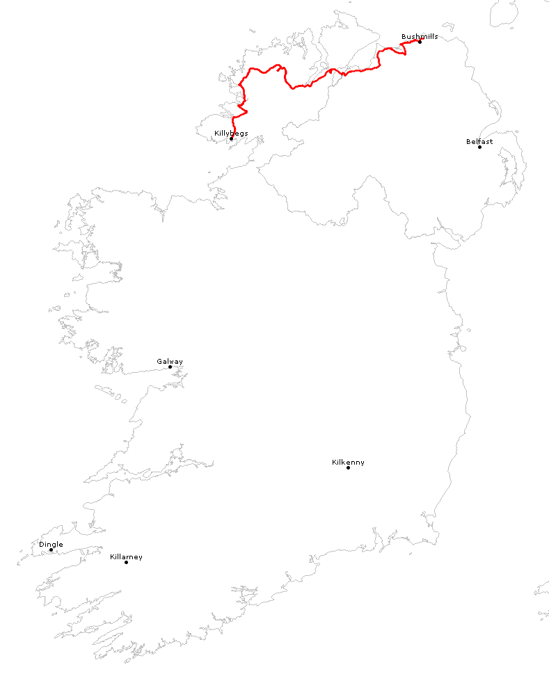
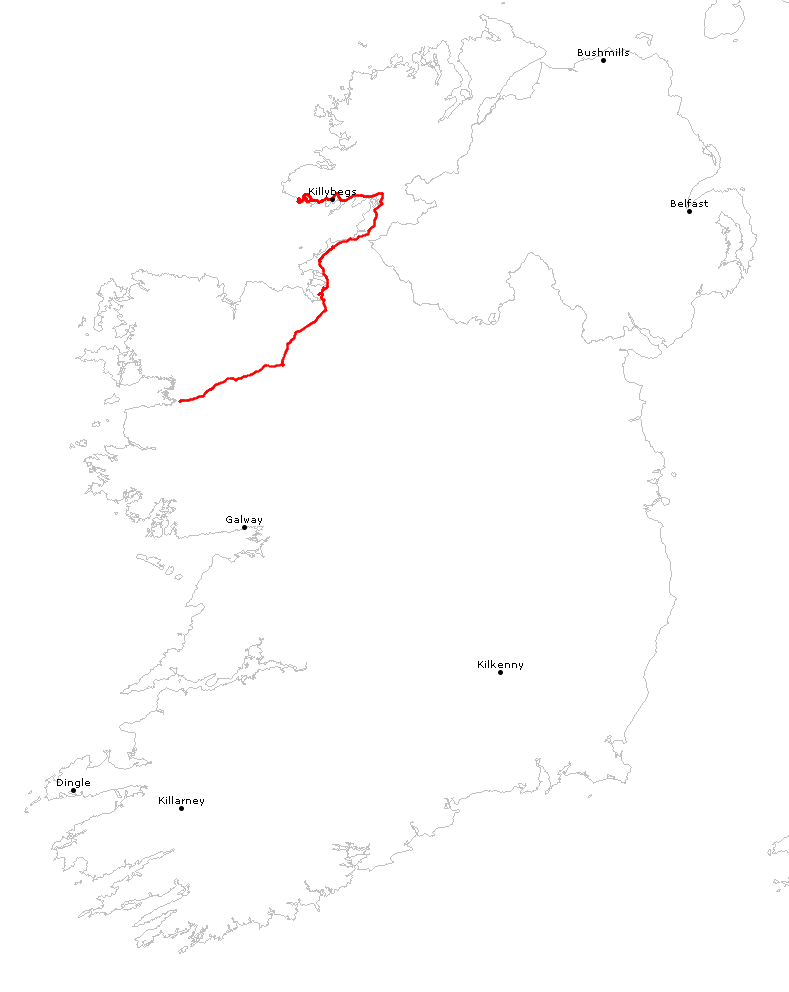
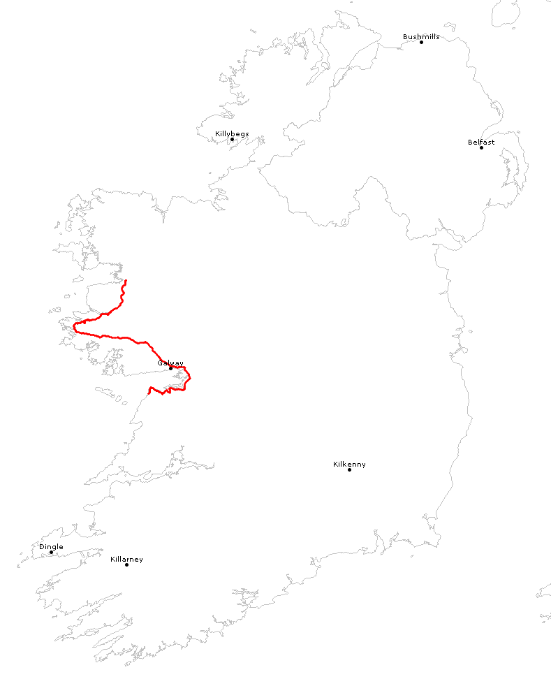
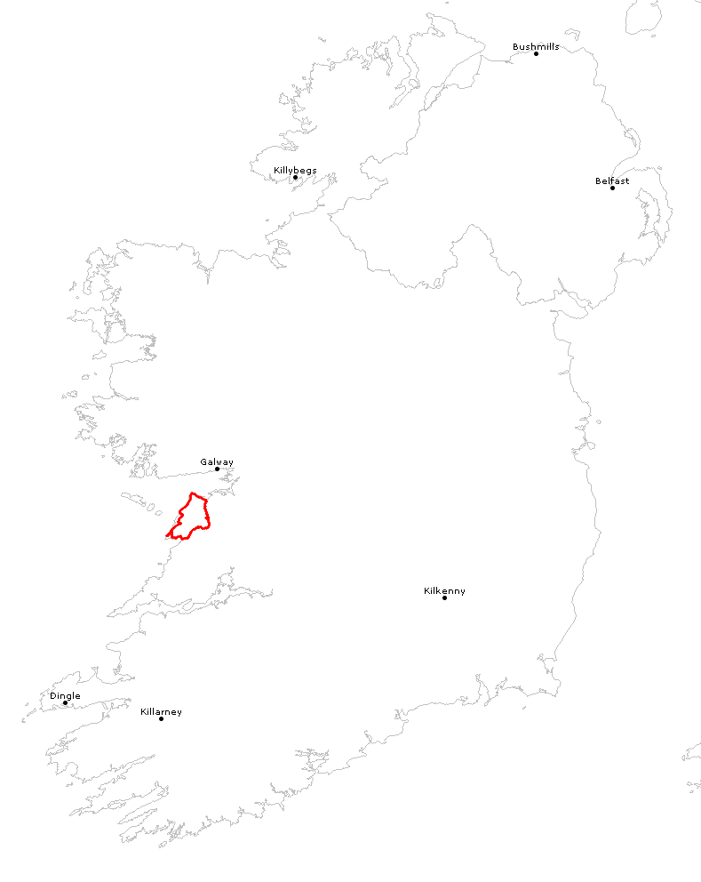
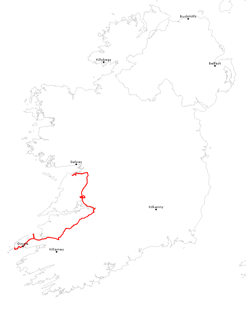
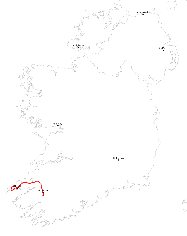
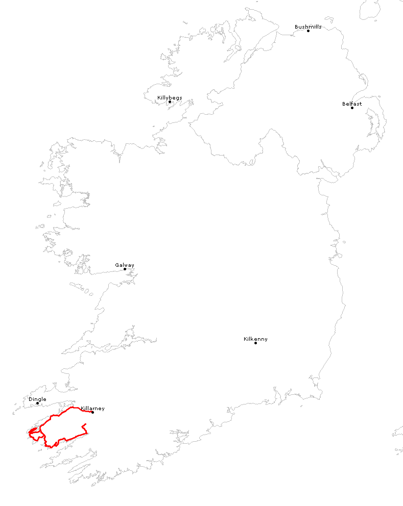
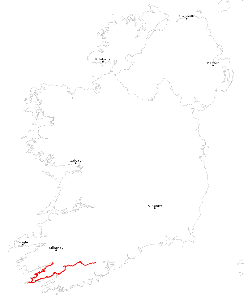
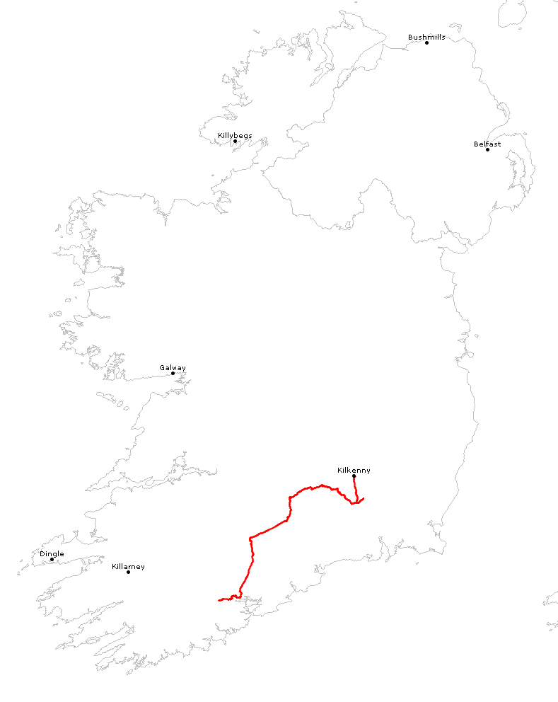
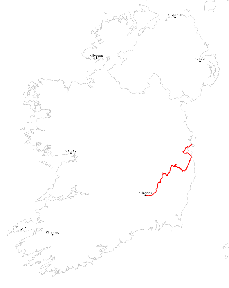
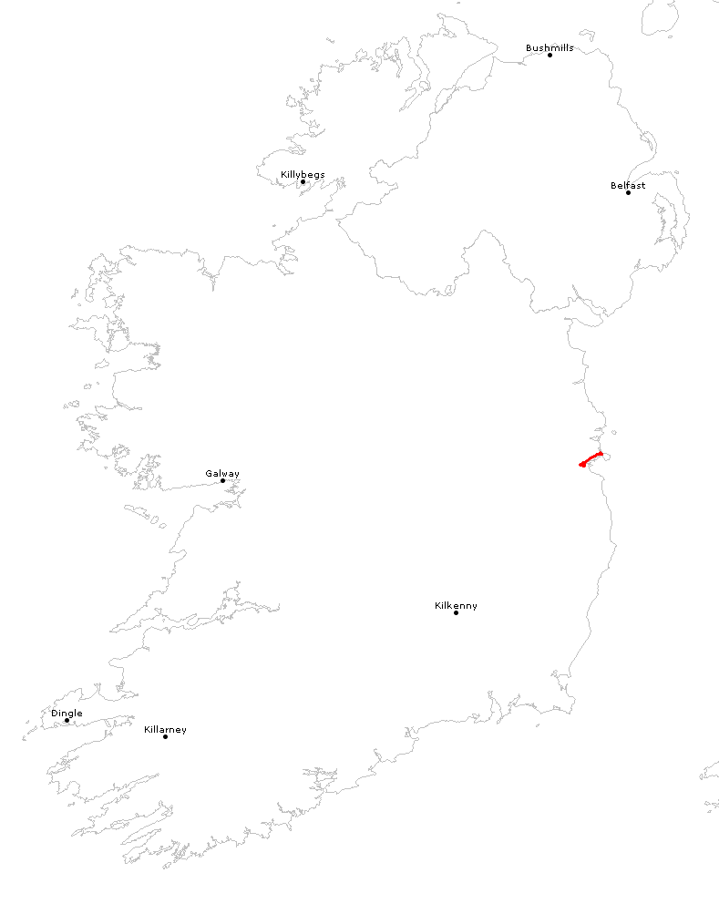
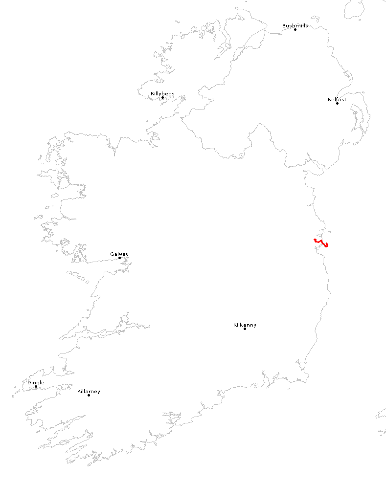
WegpunkteDownload als gpx g7tGPS-DatenStraßen auf Google Maps und als DownloadTracks
|
| Willkommen >> GPS >> Irland | |||||||||||||||||||||||||||||||||||||||||||||
|
|||||||||||||||||||||||||||||||||||||||||||||
| generiert am 28.5.2018 21:22:50 mit weco © 2004-2006 by Thomas Gansow | |||||||||||||||||||||||||||||||||||||||||||||